Introduction
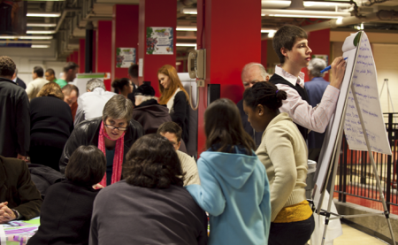
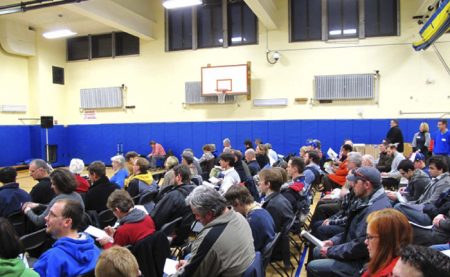
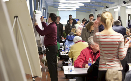
In March, a thousand concerned citizens came together across the city to help define a direction for a new future land use plan and zoning ordinance for Buffalo. Here are the results.
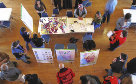
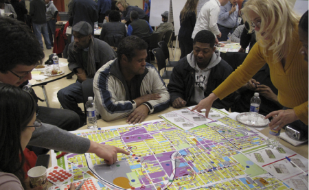
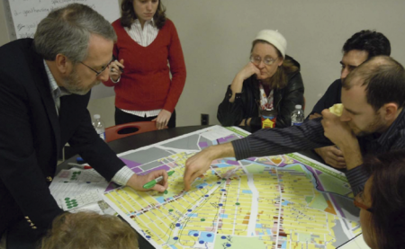
These workshops literally put the pen in the hand of citizens to tell planners about their neighborhoods – where the key assets are, where development patterns are weak or strong, and what kind of new directions they would like development to take.
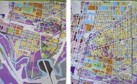
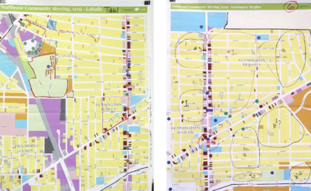
The Buffalo Green Code land use workshops produced a massive amount of information: 93 neighborhood maps, more than 500 pages of newsprint notes, and thousands of pieces of information about what is – and what should be – in our city.
This information has been analyzed and is shown here in two forms: brief summaries of the conversations on a neighborhood by neighborhood basis and an interactive map that incorporates every observation and every land use recommendation made by the participants.
Let us know what you think, Email Us.

Are you a Google Earth power user?
Below are KML files that will load in Google Earth, you can also save the files.